Monday, May 15, 2006

Yosemite National Park - May 2006

"Thousands of tired, nerve-shaken, over-civilized people are beginning to find out that going to the mountains is going home; that wildness is a necessity..." John Muir, 1898


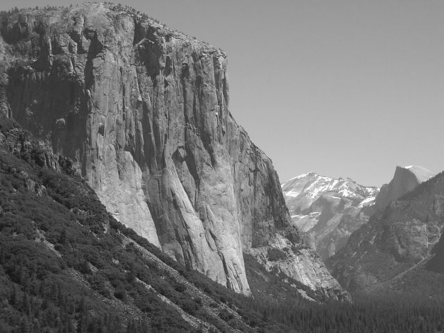
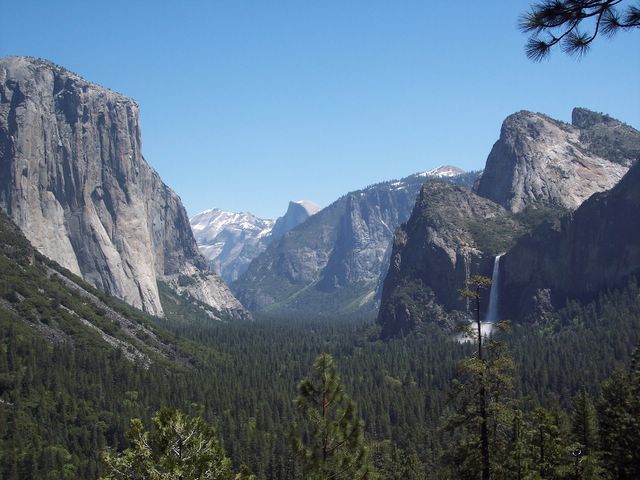
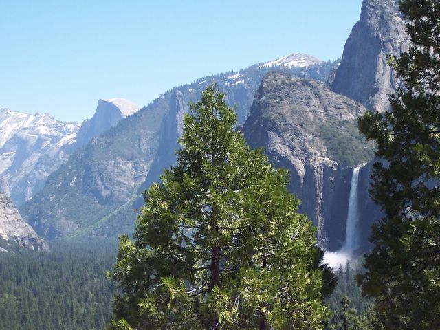
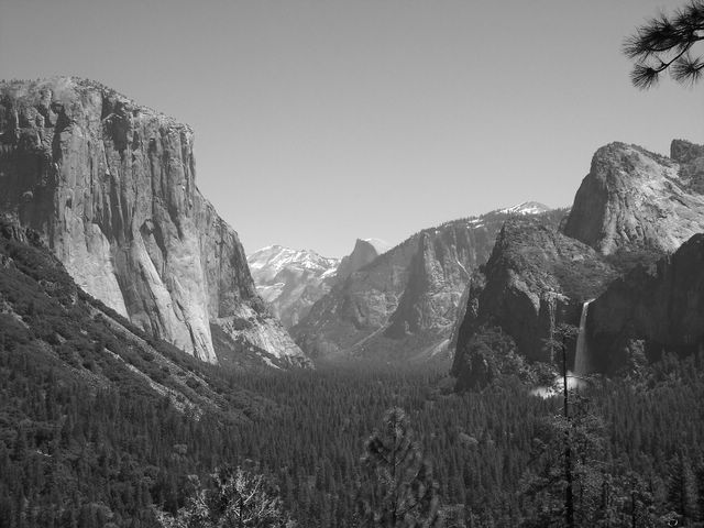
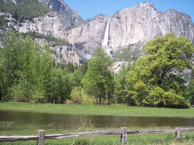
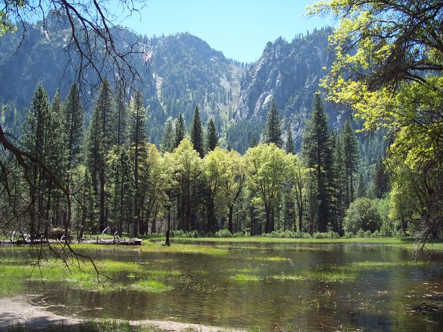
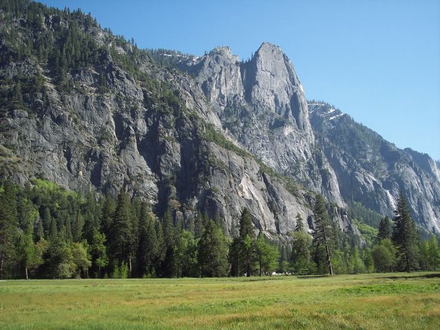
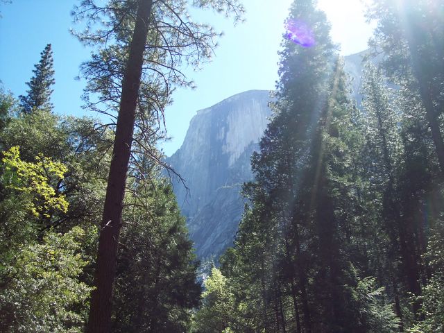
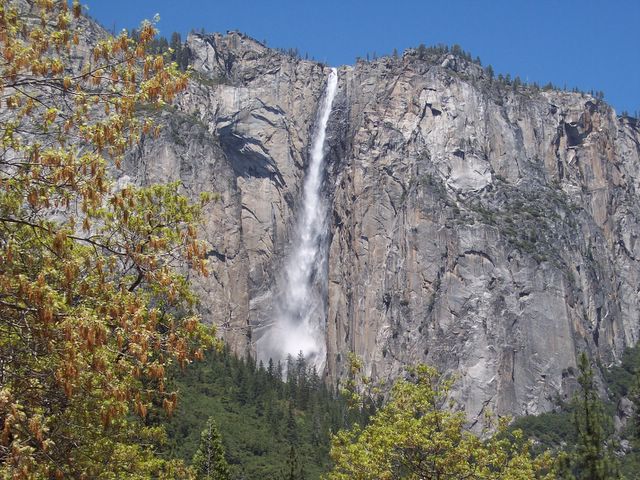
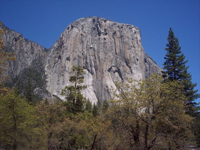
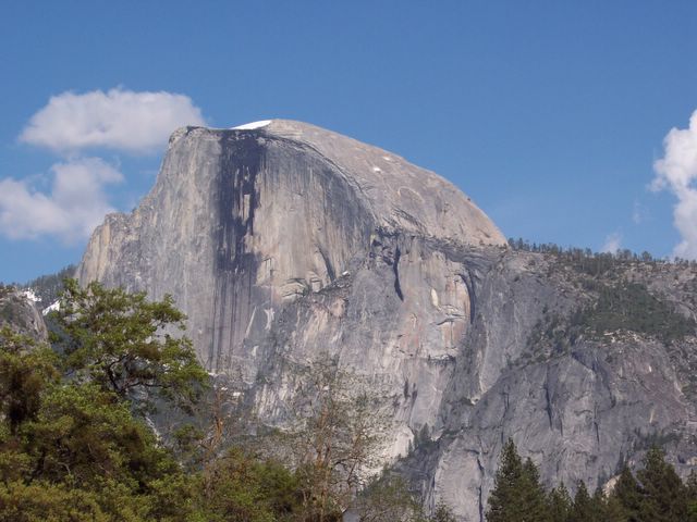
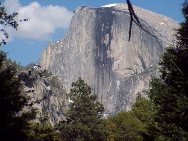
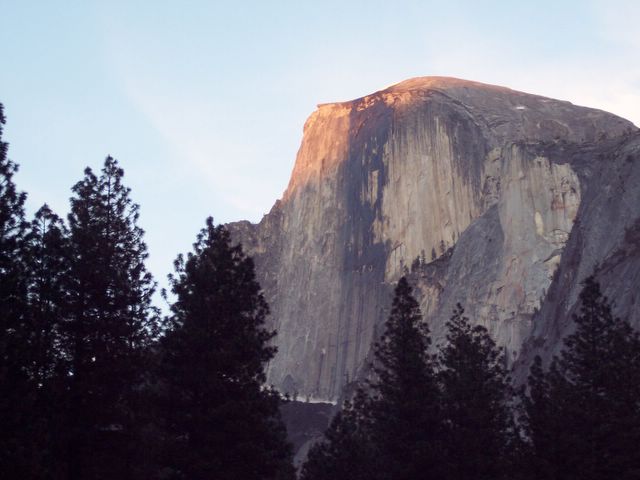
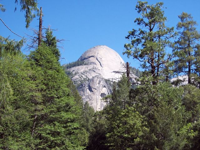
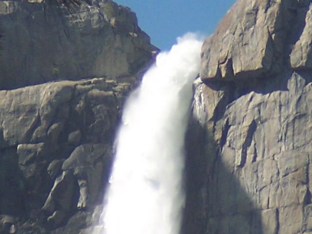
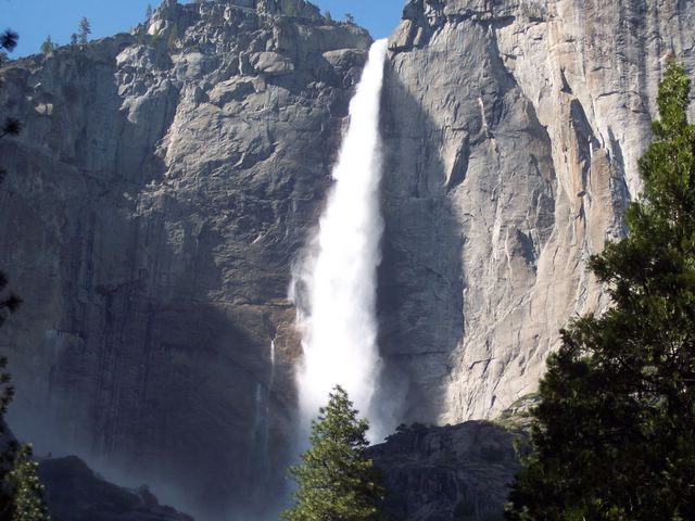
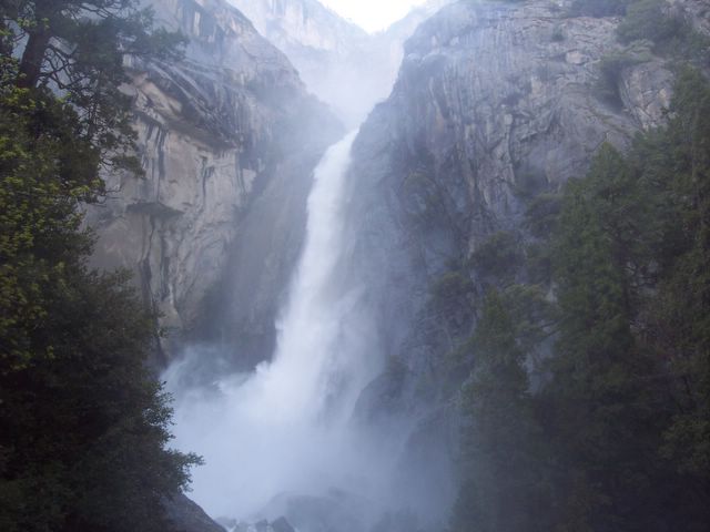
Yosemite National Park, set amongst the Sierra Nevada mountains, was declared a national park on October 1, 1890. The park contains many natural wonders, such as waterfalls, granite domes and monoliths, meadows and forests that contain giant sequoia trees, which are some of the world's largest living things. It was a favorite place for famed photographer Ansel Adams and naturalist John Muir, and remains a favorite place for visitors from all over the world.

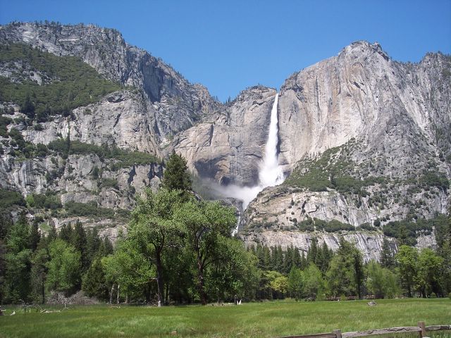
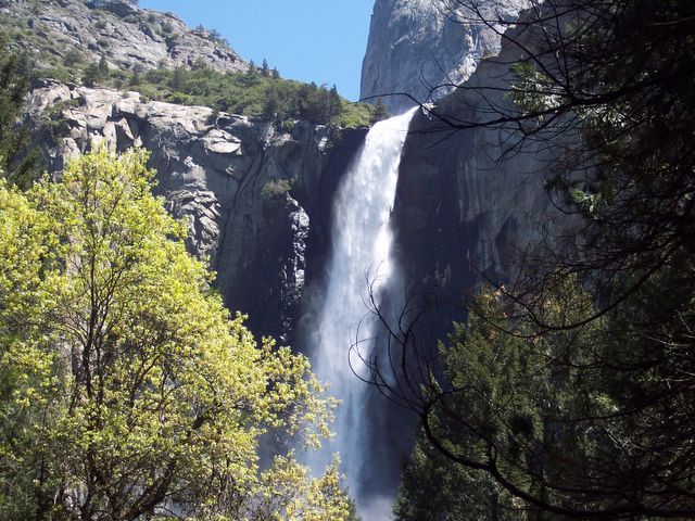
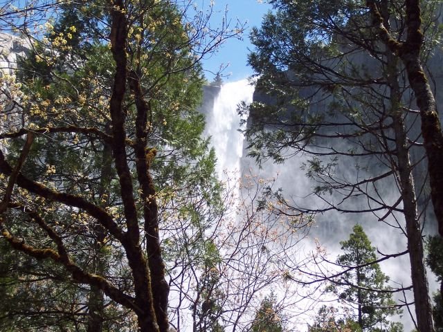
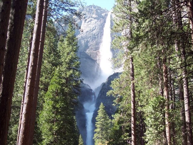
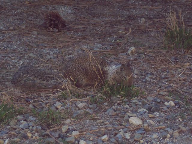
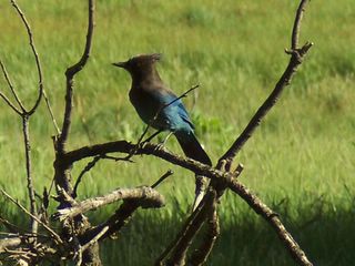
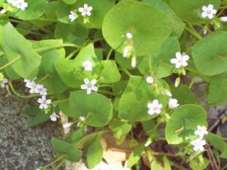
During this trip, I took a few short hikes to Yosemite Falls, Happy Isles and to Mirror Lake. These are short, easy hikes, but the park is also full of long, strenuous hikes for the seasoned hiker and backpacking through the backcountry for backpackers. It also offers spectacular rock formations for rock climbers and lush meadows for bird and wildlife watchers. Several campgrounds are in the park, as well as more luxurious accomodations at places like the Ahwanee Hotel. We stayed at Curry Village in a tent cabin, which was perfectly fine with me. At Curry Village, there are all the amenities that a person could need: a gift shop/grocery store, sports gear shop, pizza place, dining hall, taqueria, shower house and an ampitheater where rangers give talks in the evenings. There is a also a free shuttle bus that takes you to several points of interest and trailheads in the valley.

The park is open 24 hours a day and costs $20 per vehicle to get in, which is good for 7 days. You don't need reservations to enter the park, but if you plan on staying overnight, reservations at a campground are a very good idea, as the campgrounds fill up very fast, and if you don't have a reservation, you may end up without a place to stay.

At this time, the road to Glacier Point and Tioga Road remain closed due to snow. There is no current estimated opening date, but those roads probably will remain closed til mid-summer. Also, there is road construction going on within the park and some parts of the road are inaccessible at this time, which is creating more traffic within the park, so expect delays.

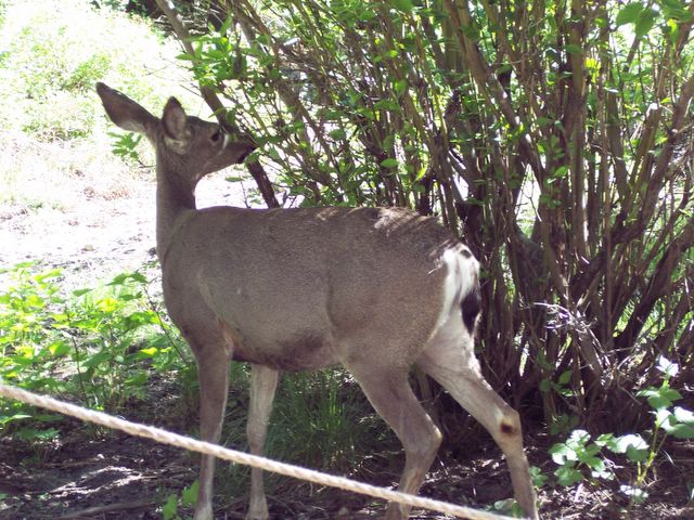
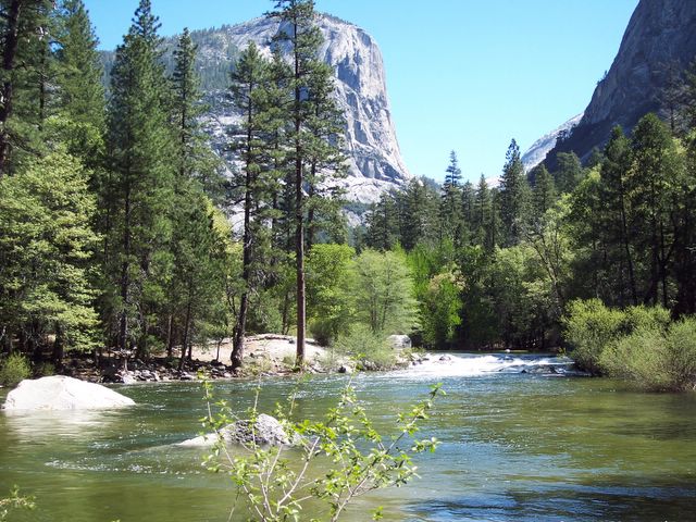
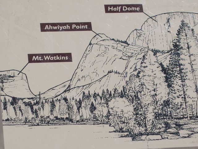
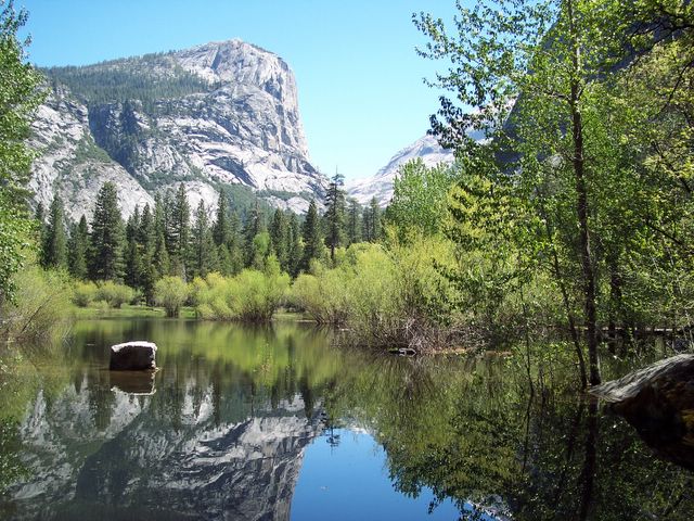
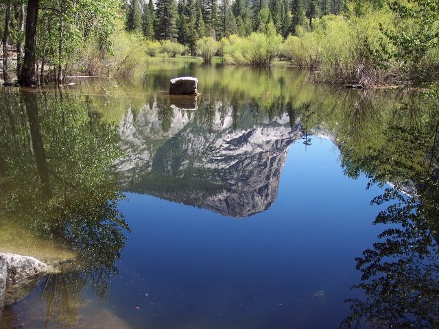
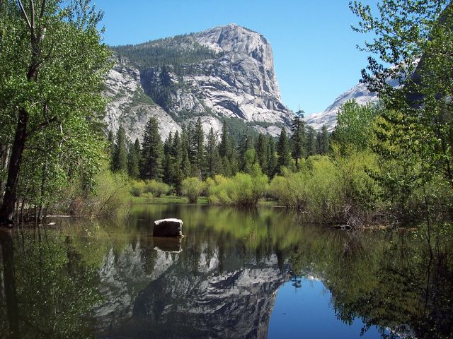
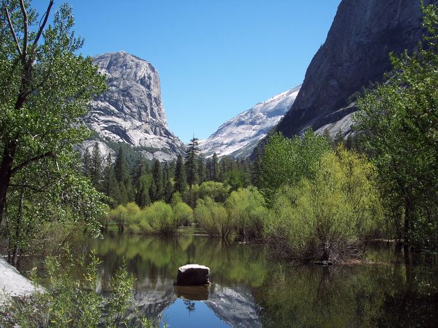
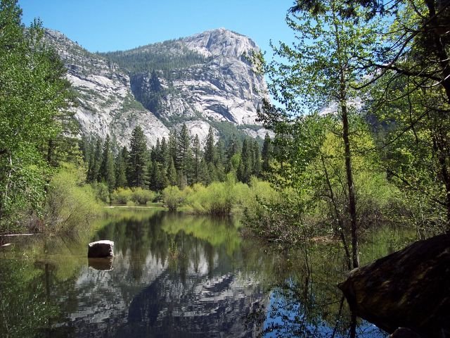
Despite the traffic and all of the people visiting the park, it is a great place to go, whether you like to climb rocks or just go for a nice stroll through the meadow. One of the most beautiful places I went to this time was Mirror Lake. In the spring, this "lake" (which is actually more of a shallow pond), is full and the reflection of Mt Watkins in the water shows how the lake got its name. In the summer however, the waters recede til there is no lake to be seen. Still, I imagine even with the lake gone, it would still be a pretty place to visit. Plus, the trail, although a mile long, is easy and paved, and is scenic and offers plenty of shade. It is also accessible to those with disabilities, as vehicles displaying a handicapped placard can drive up the road. This is a big plus, because I think this is a place that everyone should be able to see in person. Pictures of it really don't do it justice.

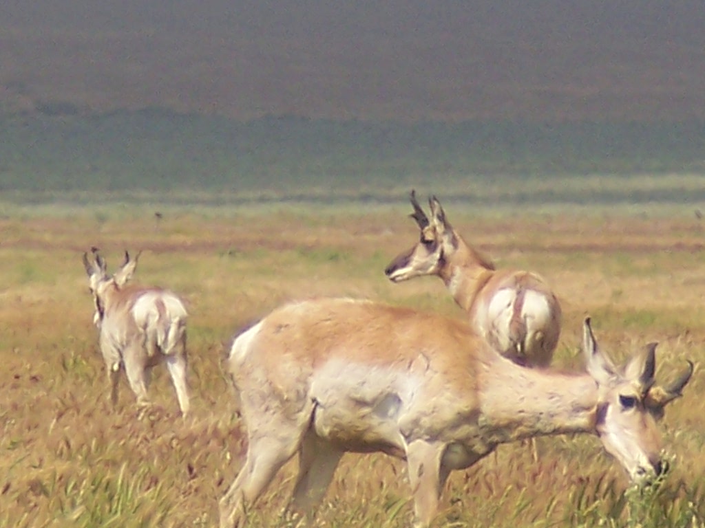
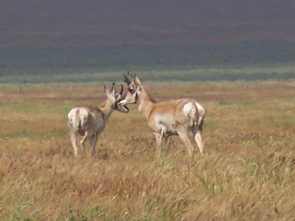
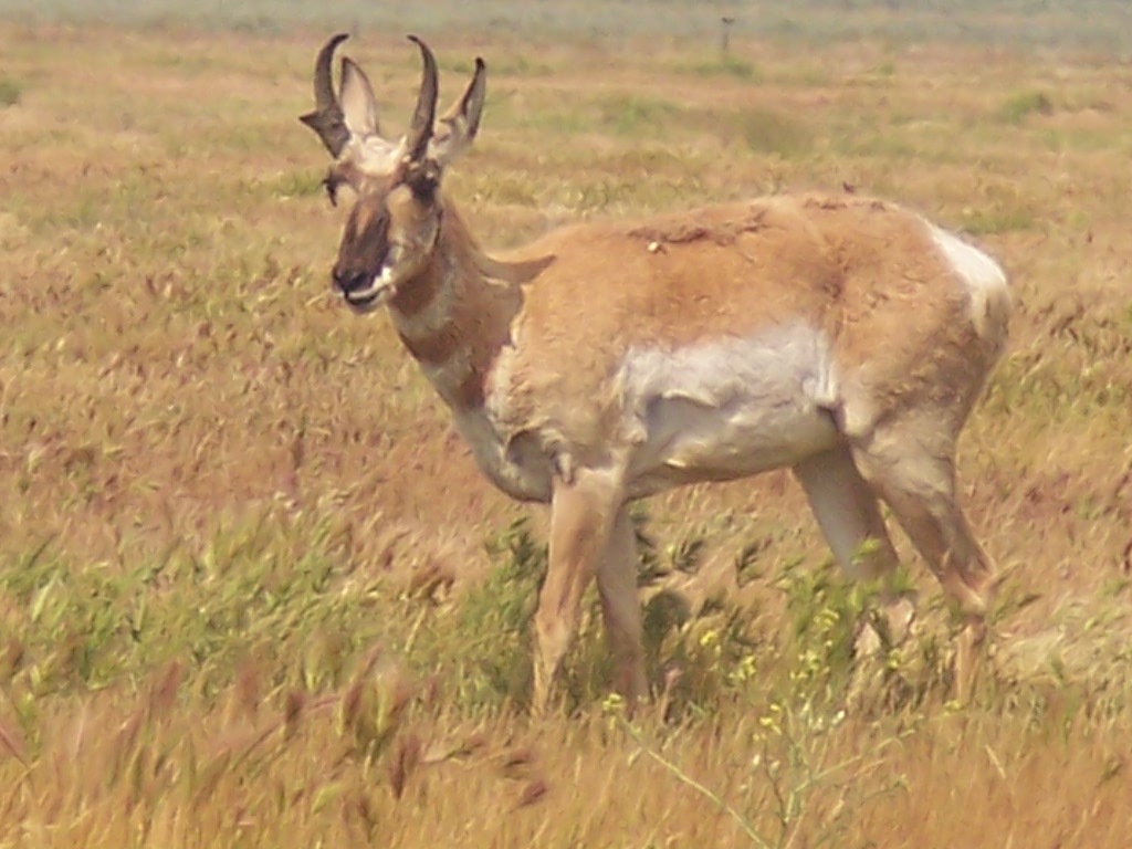
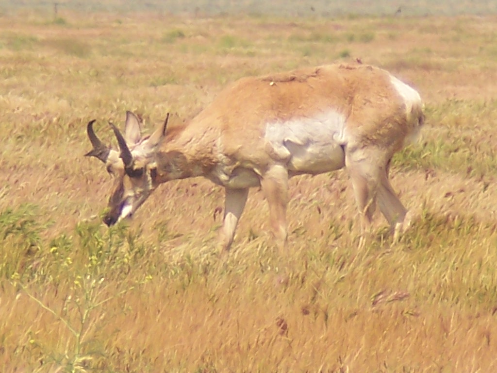
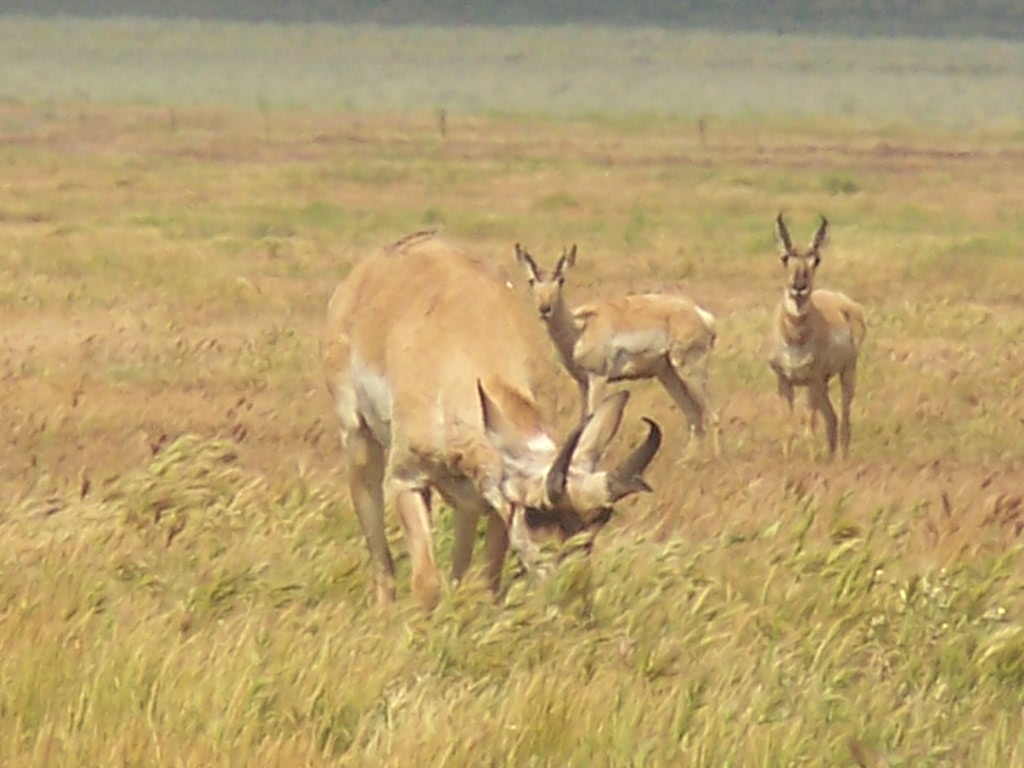
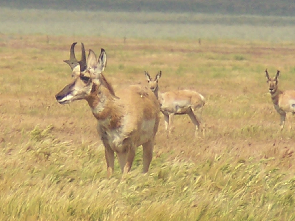
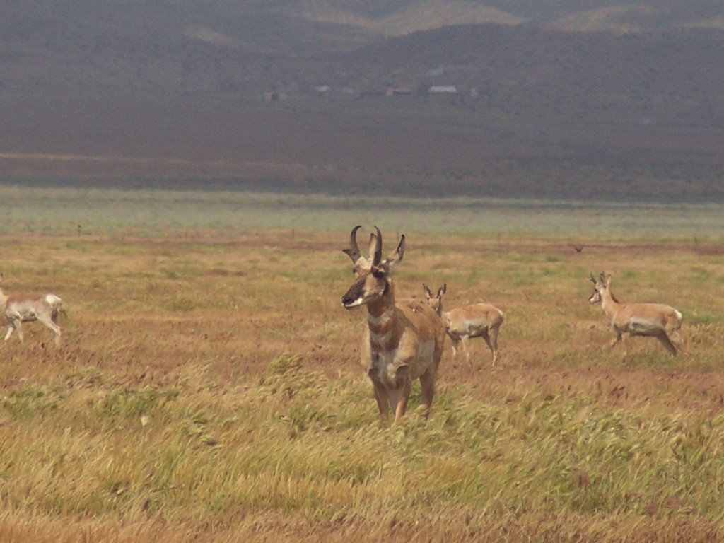
At the end of the trip, I was worn out from driving and my feet were hurting, but it was worth it. I love Yosemite! I posted quite a few pics below and you can see the entire photo album by clicking HERE. Enjoy!


Links:

The lore and lure of Yosemite
Info on campgrounds in Yosemite
Yosemite Home Page
Current Conditions in Yosemite
Food Storage Info
Things to do in Yosemite
Yosemite Web Cams
Yosemite

Sunday, May 14, 2006


Black and white picture of El Capitan, Cloud's Rest and Half Dome - this is the first glimpse or Yosemite that the park visitor will get. At the end of a long tunnel, there is a turn off where visitors can park and photograph and admire the magnificent view of Yosemite Valley.

Inspiration Point - El Capitan is on the left, Cloud's Rest and Half Dome are in the middle, next to El Capitan, and Bridalveil Falls is on the right. This is one of the most photographed places in Yosemite, and a picture you will find on many postcards.

Inspiration Point - you can see Bridalveil Falls on the right

black and white picture of Inspiration Point

Yosemite Falls as seen from the valley floor - Yosemite Falls is the world's 5th tallest waterfall at 2,425 feet tall. The term "falls" applies to waterfalls consisting of more than one drop. Yosemite Falls is made up of 3 drops....Upper Yosemite Falls (1,430 feet), the Middle Cascades (675 feet) and Lower Yosemite Falls (320 feet).

Rock in the river

Merced River - Yosemite Falls flows into this river

Yosemite Valley - due to the flooding from melting snow, the meadow has become sort of a shallow lake.

Yosemite Valley - view from El Capitan Meadow

Yosemite Falls as seen from the meadow in the valley - you can primarily see Upper Yosemite Falls from here. You have to get closer to see the whole waterfall. There is a shuttle bus that takes you to the trailhead, which is an easy 10 minute or so walk on a paved road.

Bridalveil Fall - This waterfall is 620 feet high and flows year round. It is one of the most prominant features in Yosemite, and it can be seen from the famous "Inspiration Point," which where the park's visitors get their first glimpse of Yosemite Valley.

Bridalveil Fall showing a huge mist cloud created by the water hitting the base of the falls. The principal source of Bridalveil Fall is Ostrander Lake, some 10 miles to the south.

From Wikipedia: When the wind blows briskly, the waterfall will appear to be falling sideways. During lesser water flow the falls often don't reach the ground. Because of this, the Ahwahneechee Native Americans called this waterfall Pohono, which means Spirit of the Puffing Wind.

view of Half Dome from the Mirror Lake trail - Half Dome was considered unclimbable until the 1870's when, in 1875, Captain George Anderson became the first person to climb to the top. Nowadays, there are several ways of climbing to the top of this granite dome, one being by the assistance of a pair of metal cables raised on posts.

Ribbon Fall - The highest, single-drop waterfall in the US at 1,612 feet. Named "Lung-oo-too-koo-yah" by the Native Americans of the region (meaning "graceful and slender one"), it flows only during the spring, fed by melting snow.

El Capitan - this, the largest monolith of granite in the world, towering some 3,600 feet above the valley floor, is a favorite of rock climbers and photographers alike. The Native Americans called this, "Tu-tok-a-nu-la," or "rock chief."

Half Dome - one of the most famous and recognizable landmarks in Yosemite

Half Dome - This giant dome of granite was originally called "Tis-sa-ack," meaning Cleft Rock by Native Americans.

Half Dome rises about 4,737 feet above the valley floor.

The last bit of sun on Half Dome as the sun goes down for the evening

North Dome - the Native Americans of the region called this "To-Ko-Ya," or "water basket" because of its resemblance to an upturned water basket.

Yosemite Falls - the 5th tallest waterfall on earth, at 2,425 feet. The Tallest falls in the world are Angel Falls in Venezuela, at 3,212 feet.

the very top of Yosemite Falls

Upper Yosemite Falls - this part of the falls is 1,430 feet.

Lower Yosemite Falls - This part of the falls is 320 feet. That is not fog you are seeing - that is the mist coming from the falls. The force of the water is incredible and it creates its own wind. I stood on the bridge at the base of the falls, but not for long. After a few seconds, you get drenched.

Mule Deer (Odocoileus hemionus)- this guy wandered right into camp to eat - I was maybe 5 feet from it and it just kept on eating, paying no attention to me. Mule Deer can be found in the western half of North America, and are closely related to the White-Tailed Deer, and are sometimes be mistaken for one another. Mule deer tend to be bigger than White-Tailed Deer and have black-tipped tails. Mule deer get their name from their large , mule-like ears.

Ground Squirrel - you can't go too far without seeing one of these guys foraging for food

Happy Isles - The Merced River flows around several small "islands" in the middle of the river, creating forks in the river. John Muir, the famed naturalist, called the Merced River one of the most "songful streams" in the world.

The American Robin (Turdus migratorius) is a migratory songbird of the Thrush family. They have grayish upper body coloring with a bright orange chest, which is usually brighter in the male. This coloring is what gives it its nickname, "Robin Red Breast."

Steller's Jay (Cyanocitta stelleri) - This bird is closely related to the Blue Jay. Its head and upper body are black, while the lower part of its body is blue. It lives in coniferous and mixed woodland in the western part of North America. It is also known as the Mountain Jay, Pine Jay and the Long Crested Jay. It is the only crested Jay west of the Rockies.

Pacific Dogwood trees (Cornus nuttallii)- these trees were blooming all over Yosemite Valley. They also produce small, red fruits, which are edible, but don't taste very good.

Dogwood flowers

Miner's Lettuce (Claytonia perfoliata) - this plant gets its name from the miners who ate this plant as a way to get their vitamin C to prevent scurvy. It can be eaten, and some say its taste resembles spinach. It grows in moist, shady areas. The leaves turn a deep red color as they dry out.

The lower part of Mirror Lake - It is an easy, 1 mile hike from the shuttle bus stop, on a nice, paved road to Mirror Lake. Vehicles with a handicapped placard may drive up the road, and bicycles are also permitted. But you have to stop and park your rented bicycles when the road gets steep. There are also 2 bathrooms on the trail, but no drinking water is available, so bring your own.

Sign at Mirror Lake showing the landmarks surrounding it (Cloud's Rest is in between Mt. Watkins and Ahwiyah Point) . The Native Americans of this region called this place, "Ah-Wie-Ya," meaning "Quiet water." The lake itself is quite shallow, and in probably 50-75 years, the lake will be filled by sediment of decomposed granite and silt, unless preventative measures are taken.

Mirror Lake - the final hike of the trip and what a beautiful place it is. Mirror Lake is actually only a "lake" in the spring and early summer, then it dries up and becomes part of the meadow.

The reflection of Mt Watkins in Mirror Lake

Mirror Lake - I just sat here for a while, marveling at the beauty of this place and listening to the birds.

Mirror Lake - Mt Watkins is on the left

Mirror Lake

It is easy to see how the lake got its name.

Sunday, May 07, 2006

Carrizo Plain - May 2006

I took a drive to Carrizo Plain again on Saturday, May 6th. It was a slightly overcast day, but warm and breezy. Being that it is May, I wanted to catch the last bit of the wildflower season. It has changed a lot over the last few weeks. The fields of gold have pretty much disappeared, but some other flowers that I didn't see last time have arrived. These include the Thistle Sage, Chia and Farewell to Spring. Gone are the fields of Goldfields and Tidy Tips, though a few remain here and there. Some poppies were sprouting up on the roadside.

The pronghorn were out in the fields. I even spotted a mamma and baby, though they were too far away to capture on my camera. Up the road I came across a small herd of them, and the apparent lead male (or so he seemed to be) came maybe withing 15 feet of my car. I guess once he figured out I wasn't gonna hurt him, he eased up enough to come closer, but he still kept a watchful eye on me at all times.

The snakes were out in abundance this time, a creature that was notably absent from my previous visits. I came across 5 snakes...3 rattlesnakes and 2 gopher snakes... on this trip. The snakes I found lying in the road I moved to the side of the road by pushing them with a stick, since I didn't want them to get run over. I also came across a Desert Tarantula in the same situation and carefully moved it over to the side of the road as well. After spending a few hours up there, I headed home, but stopped by the Tule Elk State Reserve on the way back, wanting to take a few pictures, but unfortunately, they were too far away from the fence to make out. Maybe another time.


Moon thru the trees

Pronghorn Antelope


Pronghorn Antelope (Antilocapra americana) on The Carrizo Plain, the fastest land animal in North America. Males can be distinguished from the females by a broad black patch of hair on their snouts and a black neck patch. Both males and females have horns, with the female's horns being no more than 3-4 inches. The male's horns can be as much as 20 inches in length and have a prong protruding forward.

Western Rattlesnake #1


This was the first rattlesnake spotting of the day. This guy was spotted by the bathrooms at the Goodwin Education Center. A visitor pointed him out to me. Apparently, he had had some lunch earlier, as he had a bit of a tummy bulge. He wasn't very large...only a foot or so in length. He didn't put up any fuss. He quietly slithered away under the shed after a few minutes.